

Getting here
The hike here
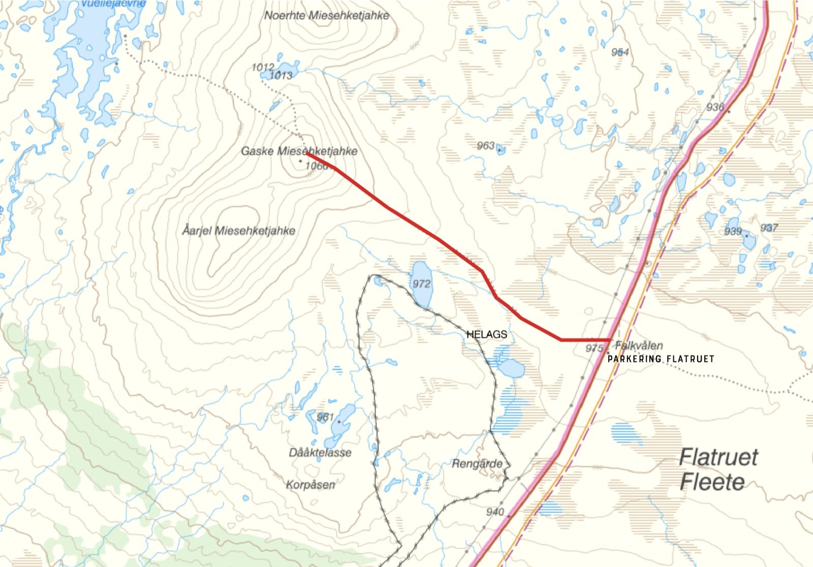
The hike to Gaske Miesehketjahke starts at the parking area along the Flatruet road and is about 3.3 kilometers one way. The trail runs through open mountain terrain with a steady climb toward the summit and suits most people with normal fitness. Early on, the mountain landscape opens up and the views grow larger the higher you climb. The path follows gentle mountain slopes through the barren but beautiful high-mountain landscape that characterizes the Flatruet area.
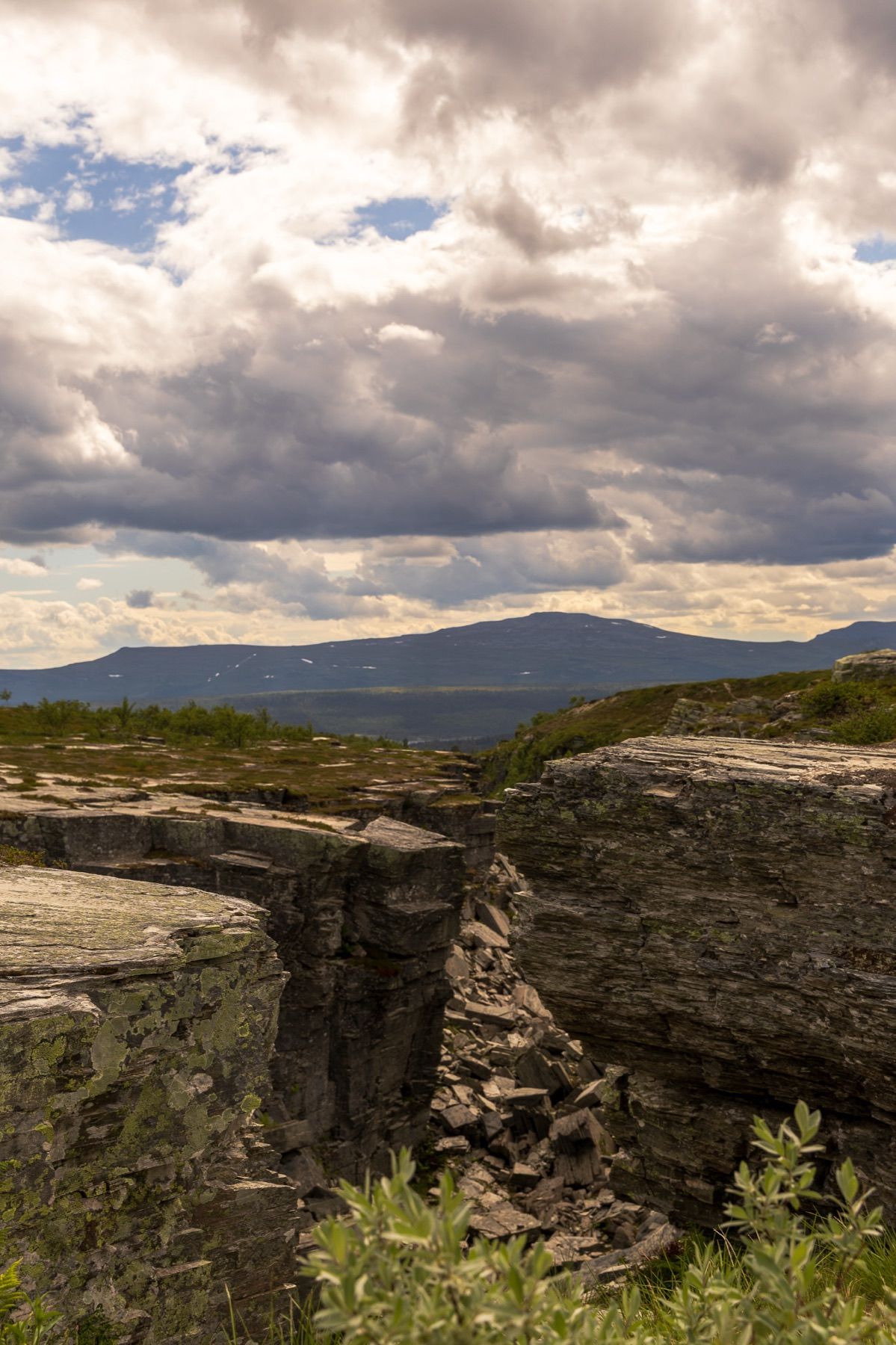
After roughly 3.3 kilometers you reach the summit at about 1,066 meters above sea level. Here, far-reaching views over the mountain landscape await, including the Helags massif, Mittåkläppen and the surrounding mountains. On clear days you can see a very long way across the open landscape.
The hike is about 6.6 kilometers round trip and is well suited as a half-day trip for those who want to experience the high mountains without a longer mountain hike.
Good to know
Although Gaske Miesehketjahke is a relatively accessible summit hike, you are on bare mountain where the weather can change quickly. Sunshine can turn into strong wind, fog or rain in a short time. Always bring windproof and waterproof clothing, extra warm layers, water and a simple packed meal, a fully charged mobile phone, and a map or downloaded mountain map. Please stay on the trail to reduce wear on the fragile mountain nature. Take all your litter back with you and leave the area in the same condition you would like to find it. If you see reindeer in the area, it is important to show consideration. The mountains around Flatruet are part of an active reindeer herding area where the reindeer move between different grazing lands. Keep your distance and let the animals pass undisturbed. Also keep in mind that the temperature at the summit is often considerably lower than down at the parking area, especially when the wind picks up.
History
The name Gaske Miesehketjahke originates from South Sami and is part of the Sami cultural heritage that shapes the whole area around Flatruet and Messlingen. For generations the mountains have been used for reindeer herding and have served as important routes through the South Sami cultural landscape of Saepmie. The mountains, valleys and open high plateaus were central to people's lives and livelihoods long before today's roads and mountain tourism were established. Flatruet is today known as Sweden's highest public road and has become a natural starting point for many mountain hikers. At the same time, the landscape still bears clear traces of the history that has shaped the area over the centuries. When you stand on the summit of Gaske Miesehketjahke, you look out over the same mountain world that Sami people, hunters, mountain farmers and travelers have passed through, generation after generation. The mountains are not just a natural area; they are also a living cultural heritage where history, tradition and nature still belong closely together.
Map
Map from Lantmäteriet. Switch to satellite at the top right. The marker shows the approximate location.